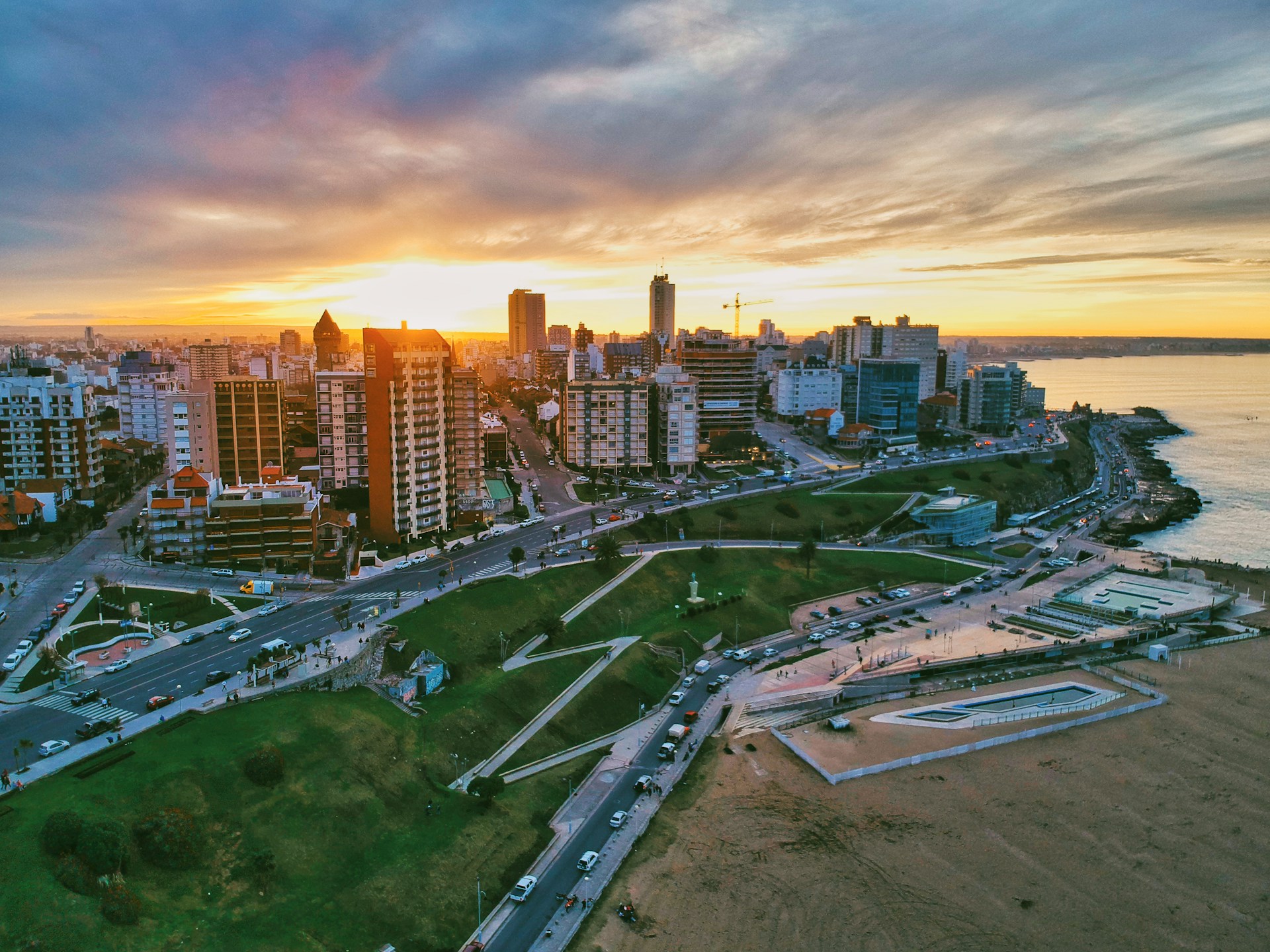
Buenos Aires, Argentina’s capital and most populous city with over 3 million inhabitants, is located in the central-eastern region of the country. The city serves as the industrial and commercial hub of the country.
Floods are the main natural risk in the city due to its topography, which includes a slight slope, high soil waterproofing, and low level of natural water evacuation. Increasing annual volumes of precipitations over the last decades has resulted in the expansion of flood-prone areas. Currently, the highest levels of hydraulic risks are found in the urban habitat extending towards the southern and central areas of the city.
The government of the City of Buenos Aires stands out among local governments in Latin America for its strong commitment to resilient urban planning.


